13 Posts under Hiking
Hiking Maui’s Hidden Bamboo Forest
Summary
We accidentally discovered this hidden hike in 2015 while we were heading back from Hana. We stopped at a random spot to take some pictures. On the opposite side of the road, we noticed some hikers just emerging from what seemed like nowhere:
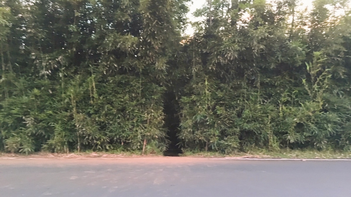
Intrigued, we investigated and discovered a narrow trail winding into the bamboo forest. Unfortunately, it was already late that day after our trip to Hana, so we didn't venture very far.
When we returned in 2017, we made sure to explore this trail again. It turned out to be the best hike we experienced in Maui. Fast forward to a few weeks ago when we brought our 6yo on the Road to Hana, we simply had to stop there. The experience was even more magical with the swollen river after the recent rainfall.
Photos
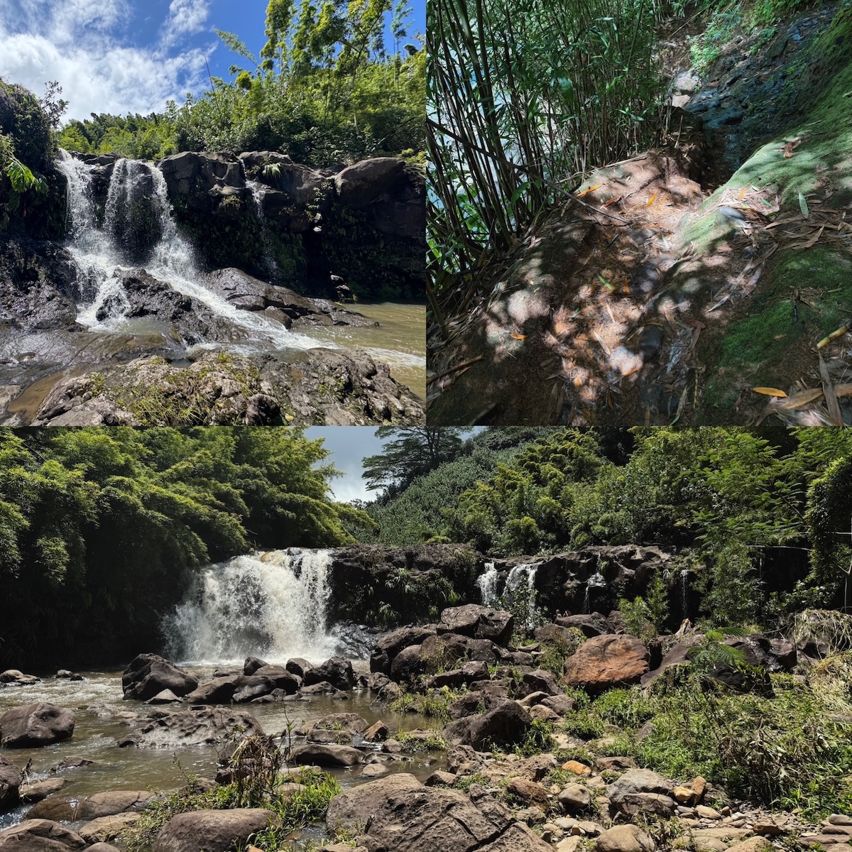
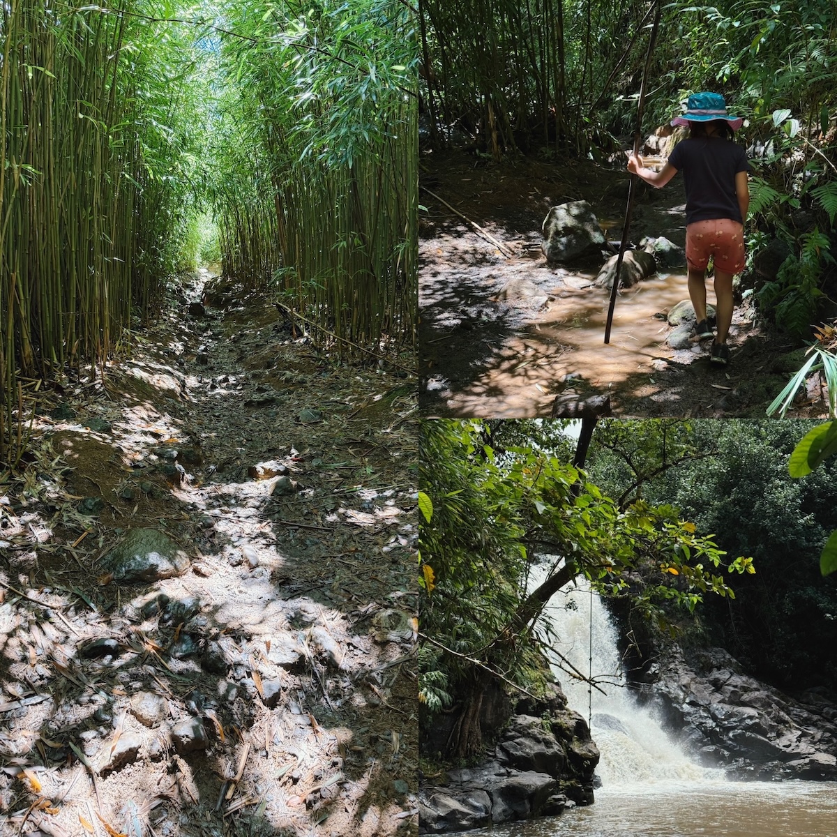
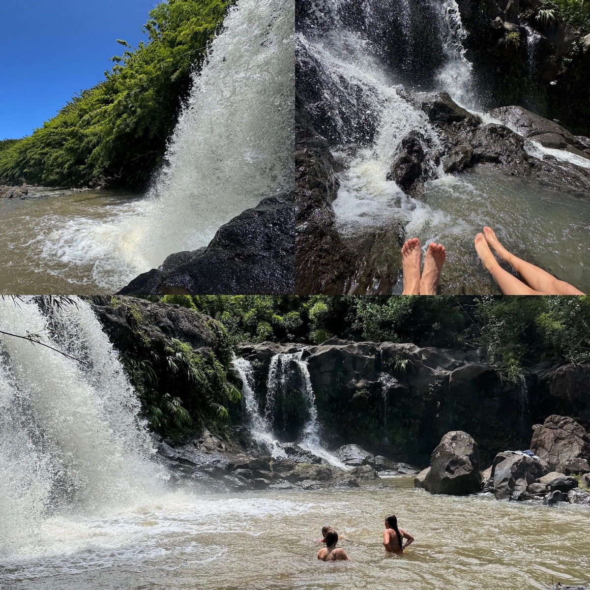
Photos from Hiking Maui’s Hidden Bamboo Forest
Numbers
Time: 2025-04-19, 2.8 hours.
Distance: 1.9 km (1.2 miles).
Route
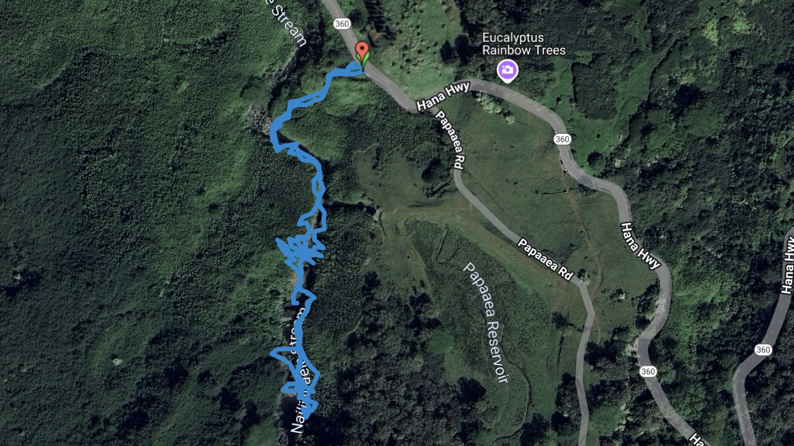
See this Google Map for more details.
Mission Peak
Summary
Just boring grasslands and hills, there are almost no trees if you need shades to rest. However, the views are still impressive when everything is green. I definitely will not go there in the brown season.
Numbers
Time: 2017-04-02, 3.3 hours.
Distance: 11.2 km (7.0 miles).
Route
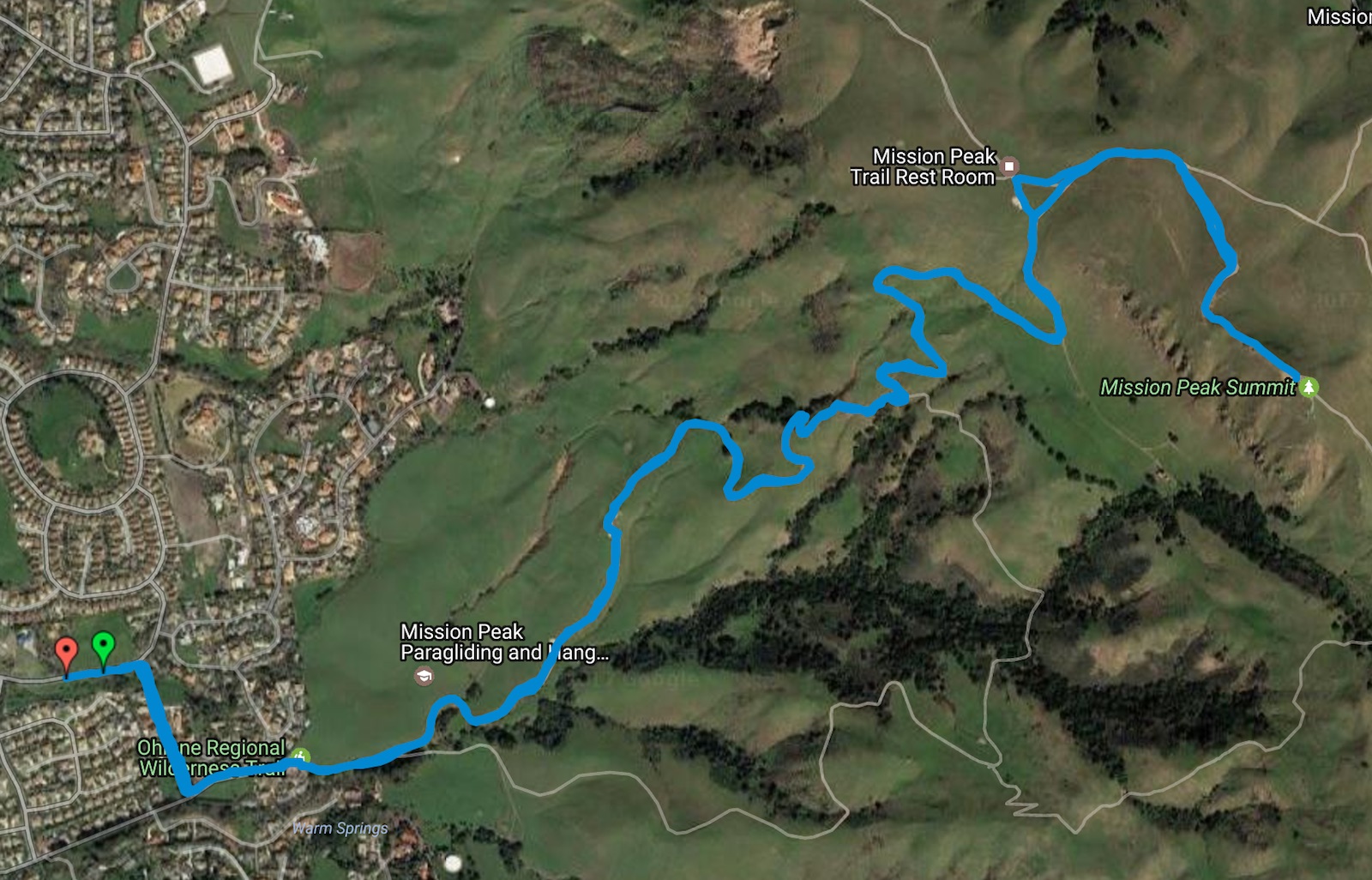
See this Google Map for more details.
Photos
El Yunque National Forest Hike
Summary
The habitat doesn't have large variety of plants like a typical tropical rain forest does, but it is still tropical. Good amount of trail choices as shown below:
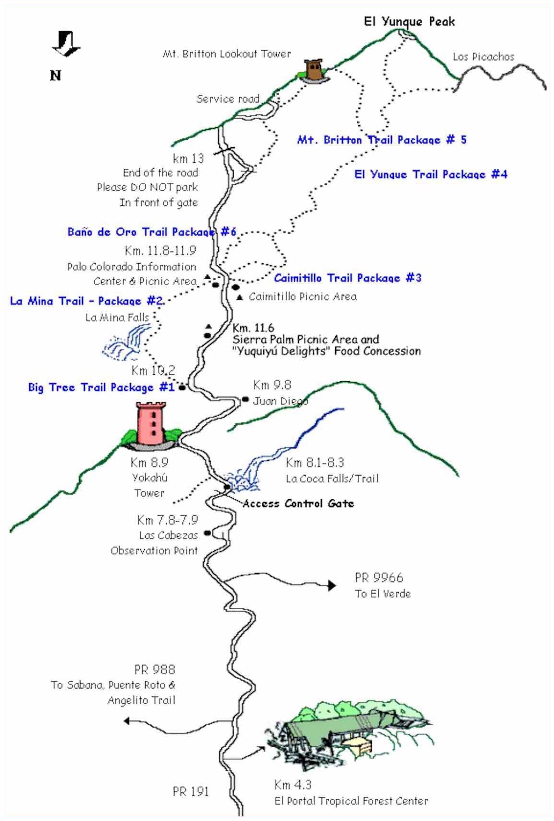
Trails in El Yunque National Forest.
Numbers
Time: 2016-12-30, 1.3 hours.
Distance: 3.1 km (1.9 miles).
Route
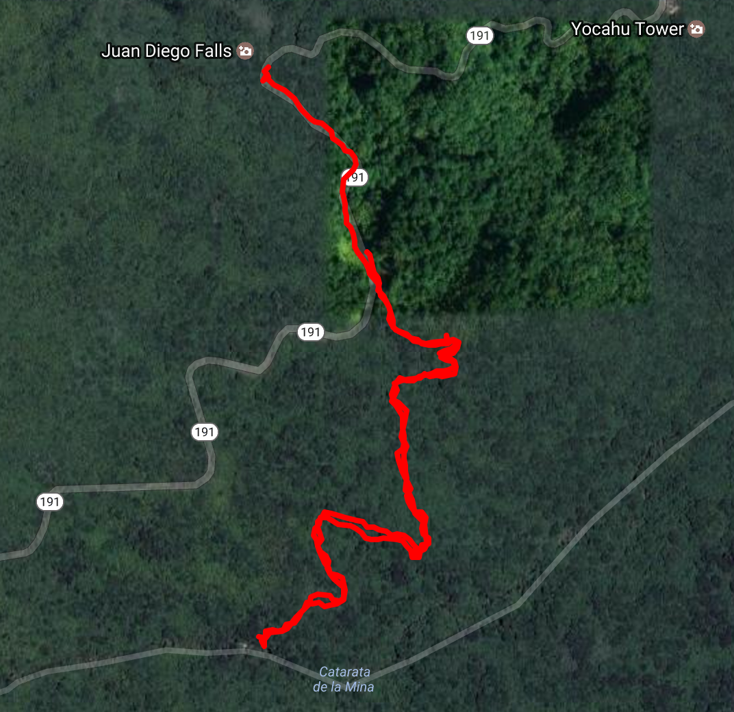
See this Google Map for more details.
Photos
Wildcat Trail at Monument Valley
Summary
Great view of the Monument Valley, even though the trail is on the edge of the valley.
Numbers
Time: 2016-11-26, 1.8 hours
Distance: 6.5 km (4 miles)
Route
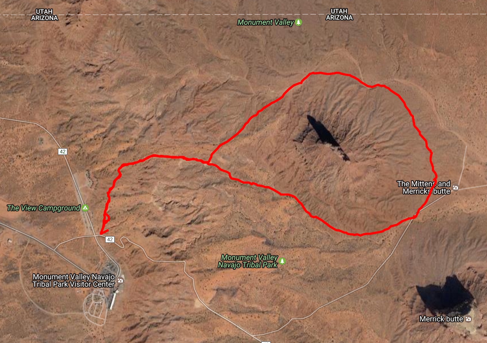
See this Google Map for more details.
Photos
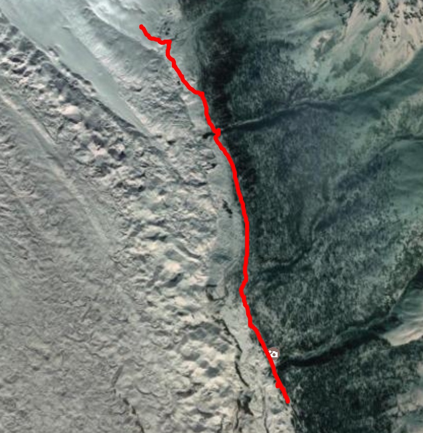
Harding Icefield Trail at Kenai Fjords National Park
Summary
This is the longest and most elevated hike I have done so far. It's very cold during the later half of the trail, which is mostly covered by snow. The visibility also turns lower and lower when you reach the top. And, there are many wild lives (and vegetation!) throughout the trail.
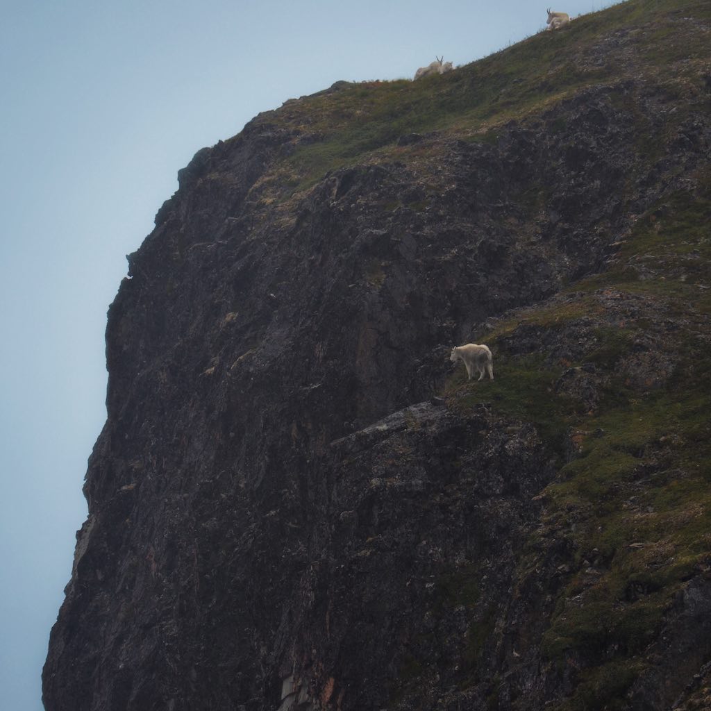
A Mountain Goat on the Edge of a Cliff
There is a small shelter near the top. You can, and definitely should, take a break and have some food inside. We had our instant noodle "cooked" with cold water. You would think it tastes like garbage, but after you hiked in such conditions, that's the best reward!
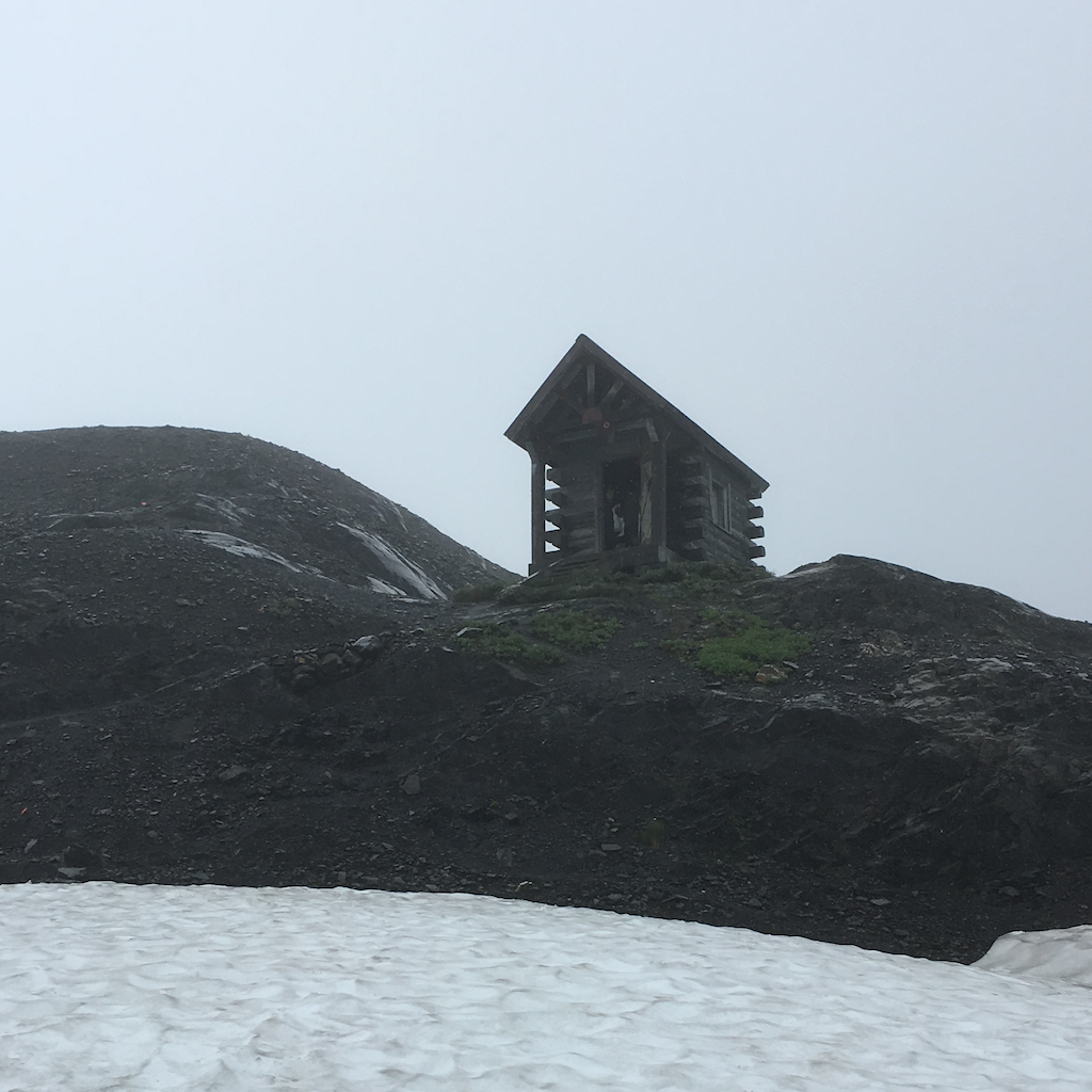
Harding Icefield Shelter
Numbers
Time: 2016.08.12, 8.7 hours.
Distance: 14.0 km (8.7 miles).
Elevation: 900 m (2960 ft).
Route
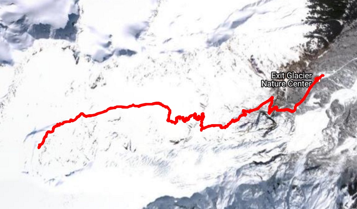
See this Google Map for more details. You can also see the map on nps.gov.
Photos
Root Glacier Trail at Kennicott
Summary
You can walk on the glacier. Hiking shoes would work if it is not raining, although it is certainly difficult.
Numbers
Time: 2016-08-09, 1.7 hours.
Distance: 4.2 km (2.6 miles).
Route
The record is actually only half of the hike that day. We started at Kennicott but I only started recording when we were back from the glacier.
See this Google Map for more details.
Photos
Trails near Denali National Park Visitor Center
Summary
Among the many trails near the Denali visitor center, we chose the direction to the horseshoe lake. There are MANY MANY MUSHROOMS out there (follow the album link below), and I fucking love them.
Numbers
Time: 2016.08.07, 2.4 hours
Distance: 5.8 km (3.6 miles)
Route
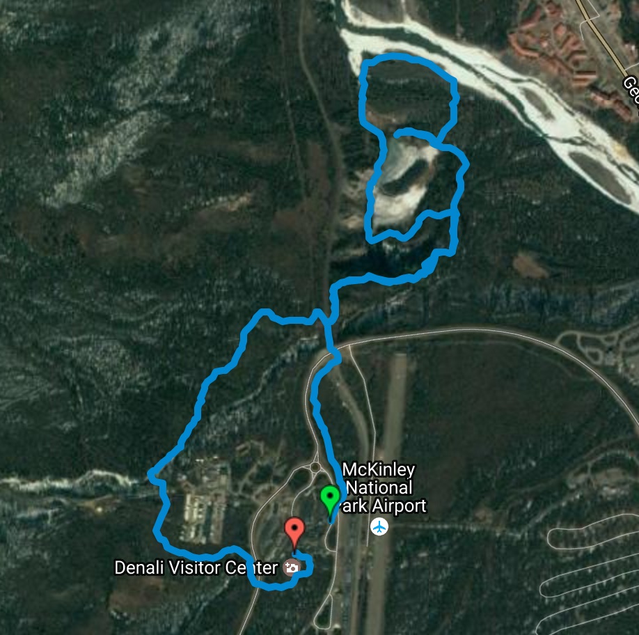
See this Google Map for more details.
Photos
Savage River Loop Trail in Denali National Park
Summary
A loop trail along the savage river, there are wild cute Pikas!
The 6km-one-way-500m-elevation Savage Alpine trail also starts there, but we didn't have the time to explore it.
Numbers
Time: 2016.08.06, 1.7 hours
Distance: 3.7 km (2.3 miles)
Route
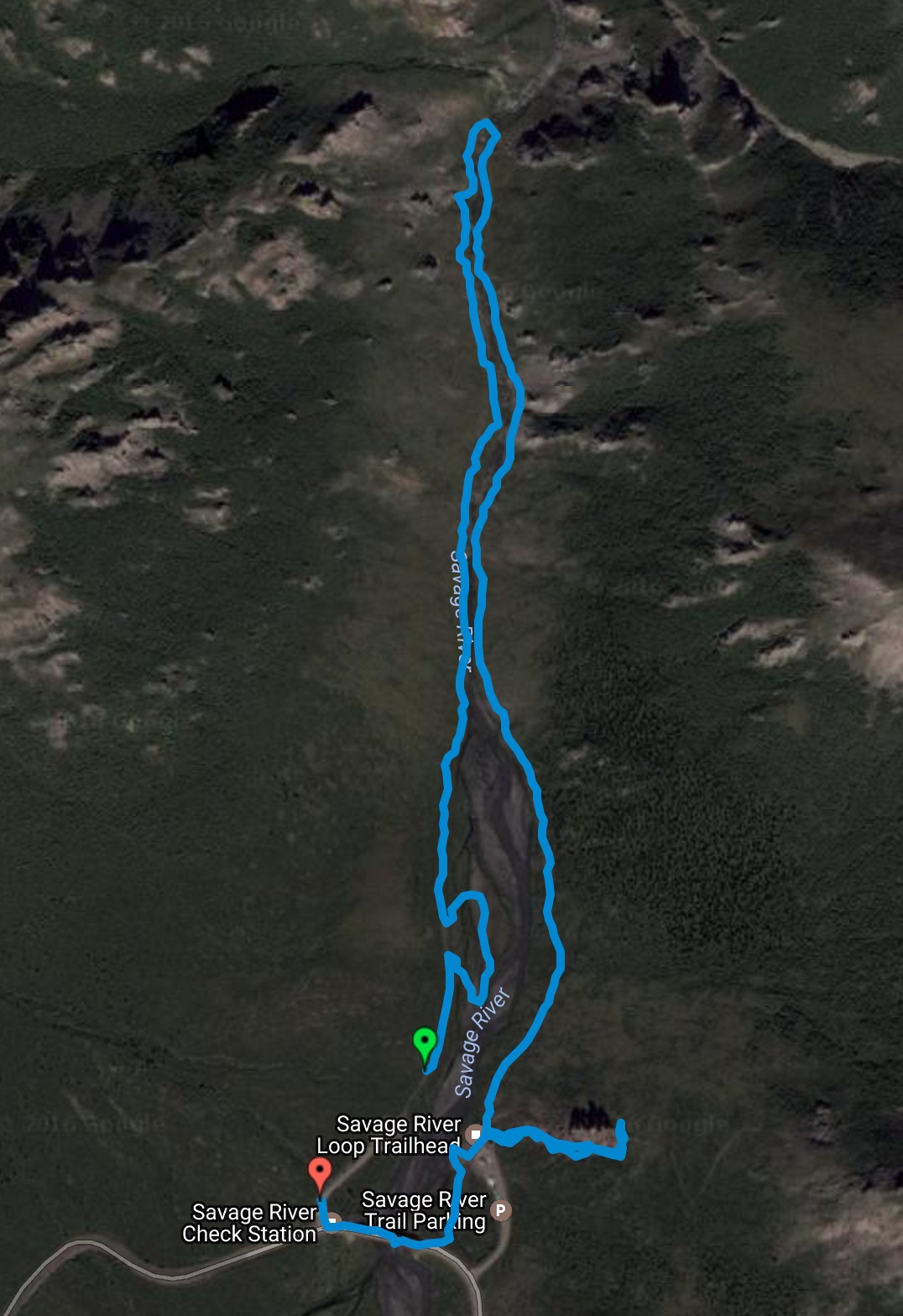
See this Google Map for more details.
Photos
Hiking Muir Woods National Monument
Summary
Redwoods; variety of vegetation along the trail.
Numbers
Time: 2016.07.30, 3.1 hours
Distance: 7.5 km (4.7 miles)
Route
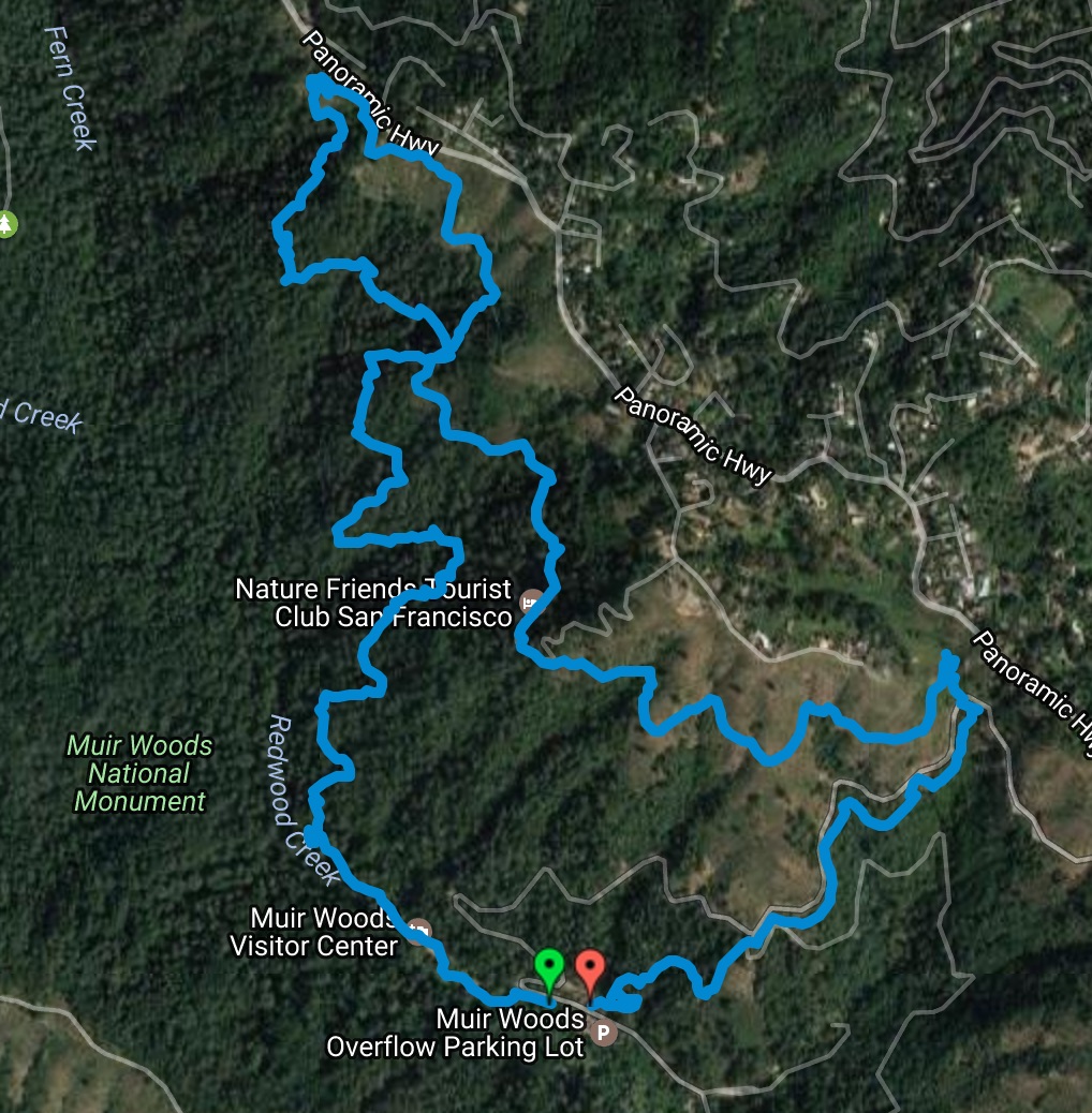
See this Google Map for more details.
Photos
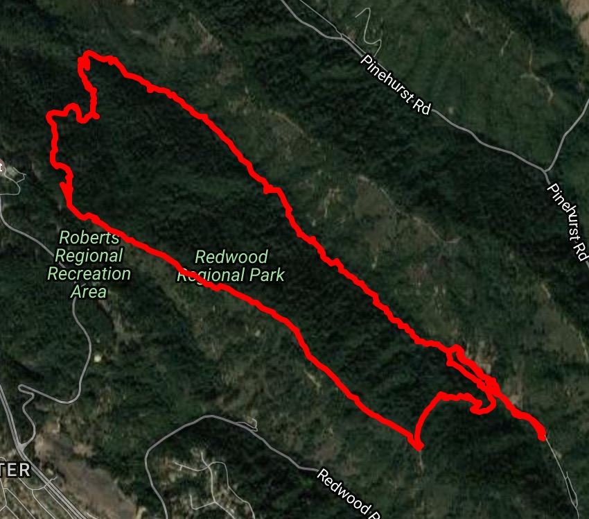
Hiking Redwood Regional Park
Summary
Great redwoods, varieties of trails.
Numbers
Time: 2016.04.30, 3.8 hours
Distance: 10.0km (6.2 miles)
Route
See this Google Map for more details.