Harding Icefield Trail at Kenai Fjords National Park
Summary
This is the longest and most elevated hike I have done so far. It's very cold during the later half of the trail, which is mostly covered by snow. The visibility also turns lower and lower when you reach the top. And, there are many wild lives (and vegetation!) throughout the trail.
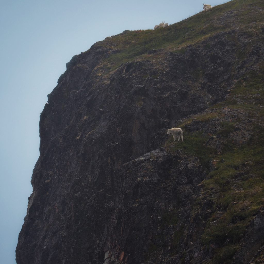
A Mountain Goat on the Edge of a Cliff
There is a small shelter near the top. You can, and definitely should, take a break and have some food inside. We had our instant noodle "cooked" with cold water. You would think it tastes like garbage, but after you hiked in such conditions, that's the best reward!
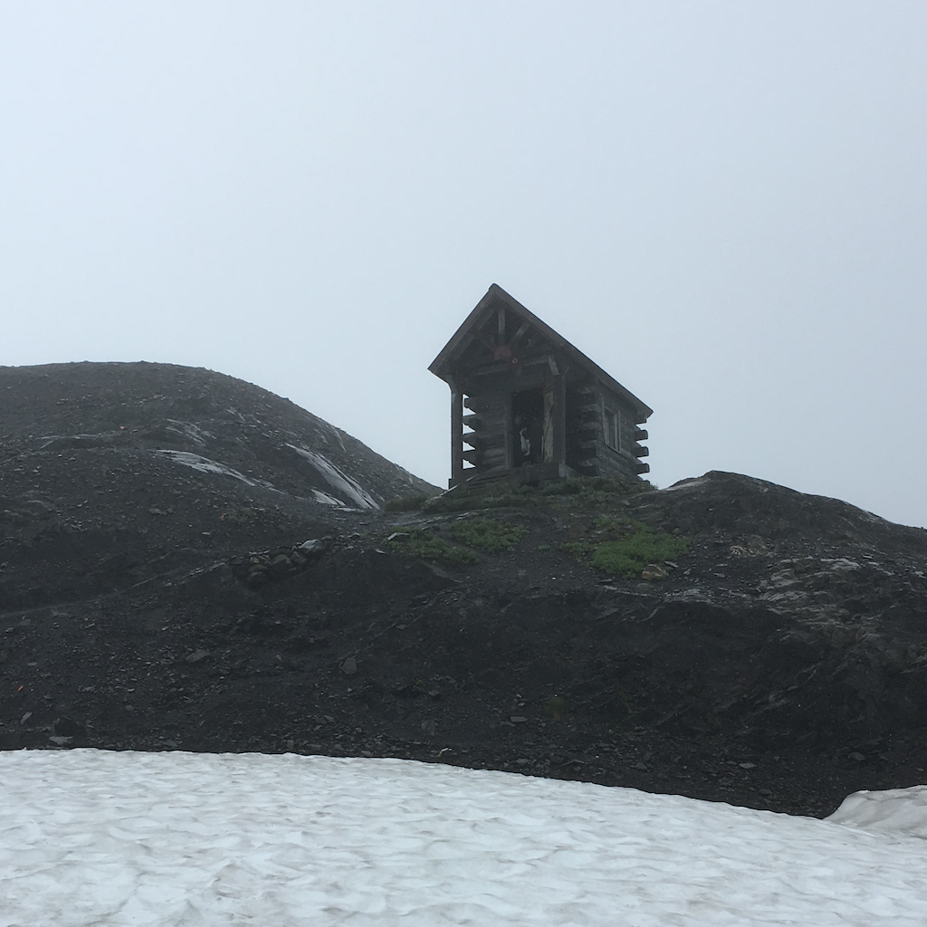
Harding Icefield Shelter
Numbers
Time: 2016.08.12, 8.7 hours.
Distance: 14.0 km (8.7 miles).
Elevation: 900 m (2960 ft).
Route
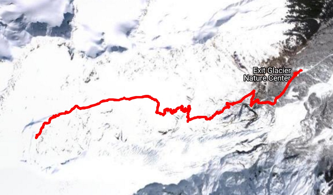
See this Google Map for more details. You can also see the map on nps.gov.